After outlining a national-level idea for a tactile map of Austria in my last post, I quickly realized: starting small is smarter. Not only because of time and material constraints, but because detail matters and working at a regional scale allows me to dive deeper into how elevation, infrastructure, and flood risk actually intersect.
So for my next prototype, I’m focusing on the region around Tulln, and potentially Vienna if time allows. This area offers a compelling intersection of topography, hydrology, and urban development all wrapped around the Danube, Austria’s largest and most flood-prone river.
Why Tulln?
- It’s a mid-sized town with both urban and rural textures, making it ideal for mixed-surface representation.
- It lies directly along the Danube, with several documented flood events in recent years.
- Its relatively flat terrain offers subtle elevation changes—challenging but manageable for tactile representation.
- Data is available: flood risk maps, land use info, and elevation contours are easier to source at this scale.
Plus: I have a personal reference point for it living close by, which helps in imagining scale and interpretation.
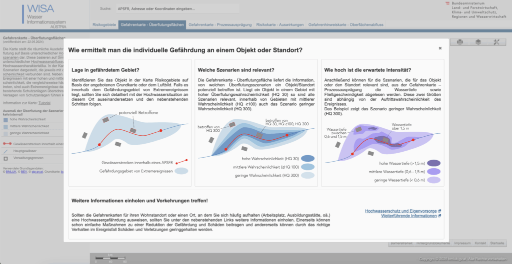
What the Data Says: A Quick WISA Deep-Dive
I spent an evening inside the WISA (WasserInformationsSystem Austria) portal, specifically the second-cycle hazard and risk maps:
https://maps.wisa.bmluk.gv.at/gefahren-und-risikokarten-zweiter-zyklus
Key takeaways:
- Three flood scenarios dominate planning: HQ30, HQ100, HQ300 (30-, 100-, 300-year events).
- Each scenario maps expected water depth and flow velocity—crucial for picking tactile textures.
- In the Tulln/Vienna stretch, HQ100 zones hug both banks, widening dramatically at meander bends.
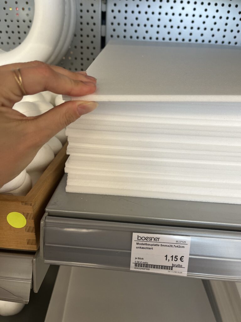
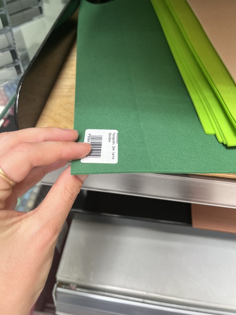
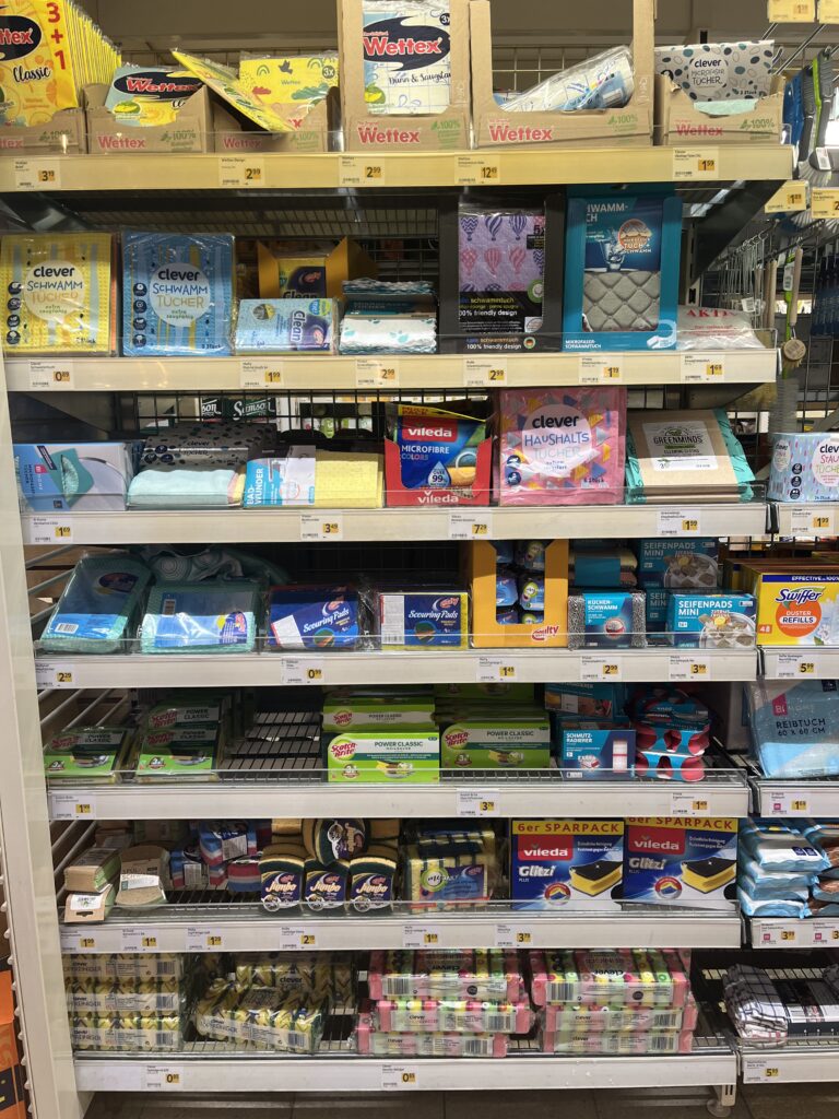
Material Scouting (aka “Foam Feel-Up” Day)
I’ve been to a few shop looking at different materials to see what would work best.


Prototype Blueprint (Version 0.1)
| Layer | Data Source | Tactile Encoding |
|---|---|---|
| Elevation (4 bands) | data.gv.at | cardboard (stacked) |
| HQ100 flood zone | WISA hazard map | Scrub Sponge (Reinigungsschwamm) |
| Sealed land | data.gv.at | compressed cork board |
| Green space | data.gv.at | felt fabric |
| Danube + major tributaries | WISA hazard map | smooth craft foam |
The aesthetic goal isn’t prettiness; it’s readability by hand. Every texture must scream its meaning in under two seconds of fingertip contact.
Scope Check
- Board size: A4 fits on a lap, lowers material costs, easy for the first prototype
- Layers: 3–4 elevation steps + 1 sponge overlay = max 5 tactile heights.
- Geography: Tulln centre + ~5 km buffer on each side; Vienna only if the first build behaves.
Next Up: Cutting, Gluing, (Re-)Cursing
In my next Blog Post I’ll document the messy middle:
- Printing and tracing simplified contours.
- Foam-board surgery (scalpel + podcasts).
- Flood-sponge wrestling: how do you glue something that’s meant to feel like water?
- First blindfold test: can a friend locate “safe ground” by touch alone?
Fingers crossed (and hopefully uncut).